Precise mapping is changing the way we navigate, plan, and connect in our digital world. Whether you are finding your way across town or tracking a delivery, knowing how to show coordinates accurately has never been more important.
This guide will walk you through everything you need to know to show coordinates for accurate mapping in 2026. We will cover the basics of coordinates, why accuracy matters, step-by-step instructions, the best tools, troubleshooting tips, and what the future holds.
Ready to unlock the full potential of your mapping projects? Dive in and discover expert advice to make your location data reliable and clear.
Understanding Coordinates and Their Importance in Mapping
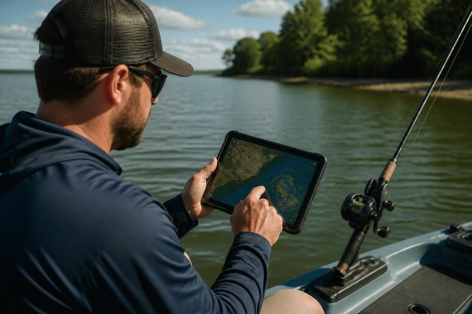
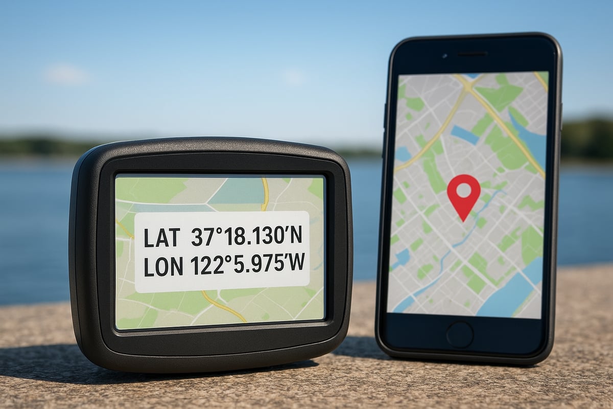
Ever wondered how your phone knows exactly where you are or how a map can guide you to a hidden fishing spot? It all comes down to coordinates. Let’s break down what they are, why they matter, and how they help us show coordinates for every adventure—on land or water.
What Are Coordinates and How Do They Work?
Coordinates are like the secret code that pinpoints any spot on Earth. The most common types are latitude, longitude, and sometimes elevation. Latitude tells you how far north or south you are, while longitude shows how far east or west. Elevation adds a third dimension, measuring height above sea level.
To show coordinates, we use systems like WGS84 (used by GPS and Google Maps) or NAD83 (common in North America). These systems make sure that everyone is speaking the same language when it comes to mapping. Imagine trying to meet a buddy at a fishing hole, but you’re both using different maps—coordinates keep everyone on the same page.
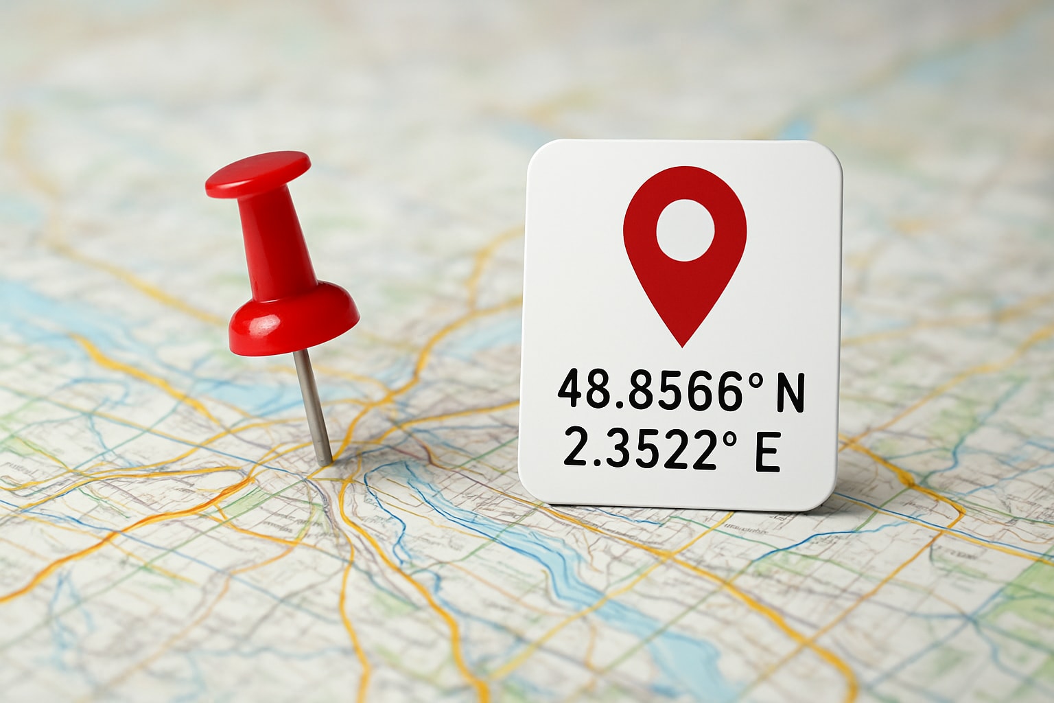
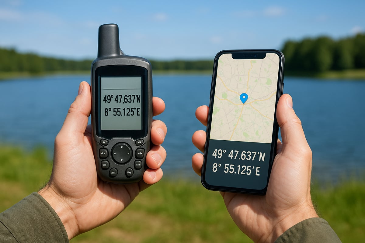
Formats matter, too. You’ll often see decimal degrees (like 25.7743, -80.1937) or degrees-minutes-seconds (25°46’27.5″N, 80°11’37.3″W). Consistency is key here. If you don’t use the right format, you could end up miles from where you want to be.
In the real world, we use coordinates every day. GPS navigation, emergency response, and delivery services all rely on them. For example, when anglers search Miami fishing spots with coordinates, they’re using precise mapping to find the best local waters. Over 80 percent of global mapping platforms depend on accurate coordinates, according to GIS industry reports.
So, if you want to show coordinates correctly, understanding the basics is the first step. It’s the backbone of every digital map and geospatial tool out there.
Why Accurate Coordinates Matter in 2026
Accuracy isn’t just a nice-to-have—it’s essential. As more people use location-based services, the need to show coordinates with precision keeps growing. Imagine a delivery going to the wrong address, or emergency crews struggling to find someone in trouble. Those are the real-life impacts of coordinate mistakes.
There have been cases where mapping errors led to lost shipments or even safety risks. In 2026, the stakes are higher than ever. Businesses could lose billions if mapping errors aren’t caught, based on recent market analysis. That’s why industries are pushing for higher standards and better technology.
Satellite and mobile tech keep improving, making it easier to show coordinates that are spot-on. New regulations and industry standards are also raising the bar for accuracy. By staying updated and double-checking your data, you can avoid costly errors and keep your maps trustworthy.
In the end, learning how to show coordinates accurately is about more than just numbers—it’s about making sure people, packages, and information get where they need to go, every single time.
Step-by-Step Guide: How to Show Coordinates for Accurate Mapping
Mapping can get tricky, but with the right approach, anyone can show coordinates with pinpoint accuracy. Whether you’re charting a course for fishing, hiking, or business, following these five steps will make your mapping reliable and easy to share.
Step 1: Choosing the Right Coordinate System
The first step to show coordinates accurately is picking the right coordinate system for your project. Most global applications use WGS84, which is the standard for GPS and popular platforms like Google Maps. Some local projects might require NAD83 or another local datum, especially if you’re working with government or scientific data.
Think about your end goal. Is your map for global users, or just for a specific region? Double-check compatibility with your chosen mapping tools. Picking the right system at the start helps you avoid headaches down the road and ensures your show coordinates efforts are spot on.
Step 2: Collecting Accurate Location Data
Once you’ve picked your system, it’s time to gather accurate data. Use a GPS device, smartphone, or a mapping app to collect your location points. For the best results, stand in an open area with a clear view of the sky. Dense buildings or bad weather can affect accuracy.
Here are a few tips:
- Calibrate your device before use.
- Wait for the device to lock onto multiple satellites.
- Take multiple readings to confirm consistency.
Collecting solid data now means you’ll show coordinates that others can trust.
Step 3: Formatting and Displaying Coordinates
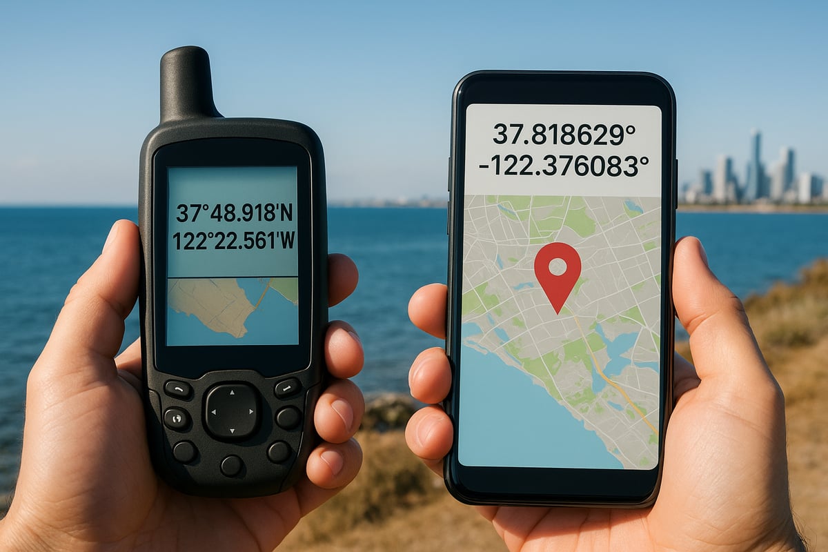
After collecting your points, you need to format and display them correctly. Coordinates can be shown in decimal degrees, degrees-minutes-seconds, or even UTM, depending on your needs. Many online converters make switching formats simple.
When you show coordinates on digital maps, make sure the format matches what your audience expects. For a real-world example, check out how Lake George fishing spot coordinates are presented—this page highlights clear, user-friendly coordinate display for mapping enthusiasts.
Best practices include:
- Labeling coordinates clearly.
- Using consistent formatting across your map.
- Double-checking for typos or misplaced decimals.
Step 4: Integrating Coordinates with Mapping Software
Next, bring your data into mapping software. Platforms like Google Maps, ArcGIS, or OpenStreetMap all let you import and export coordinate data. Usually, you’ll upload a CSV or KML file with your latitude and longitude entries.
If you run into errors, check that your coordinate system and format match what the software expects. Sometimes a misplaced comma or swapped latitude and longitude can cause issues. Most modern platforms offer step-by-step import guides, so follow those closely to show coordinates without hassle.
Step 5: Verifying and Sharing Coordinates
Finally, always verify your coordinates before sharing. Cross-check your points using different devices or tools to make sure they’re accurate. If you’re sharing with a team, use secure channels or platforms that allow for easy collaboration.
In emergency or fieldwork scenarios, sharing accurate coordinates can save time and even lives. Keeping your data clean and verified means everyone gets to the right place, every time.
Top Tools and Technologies for Showing Coordinates in 2026
Want to show coordinates with pinpoint precision? In 2026, the right tools make all the difference. Whether you’re mapping a hidden fishing spot or tracking a delivery, here’s what’s leading the way.
Leading Mapping Platforms and Apps
Today’s top mapping platforms make it easier than ever to show coordinates and share locations. Google Maps remains a favorite for its easy integration and global coverage. ArcGIS and QGIS are go-to choices for pros who need detailed spatial analysis. OpenStreetMap is perfect for community-driven projects and offers flexible options to show coordinates.
Key features to look for:
- Real-time coordinate display
- Support for multiple formats (decimal, DMS)
- Easy data import and export
Choosing a platform that lets you show coordinates clearly can save time and boost accuracy, whether you’re mapping for fun or business.
GPS Devices and Mobile Solutions
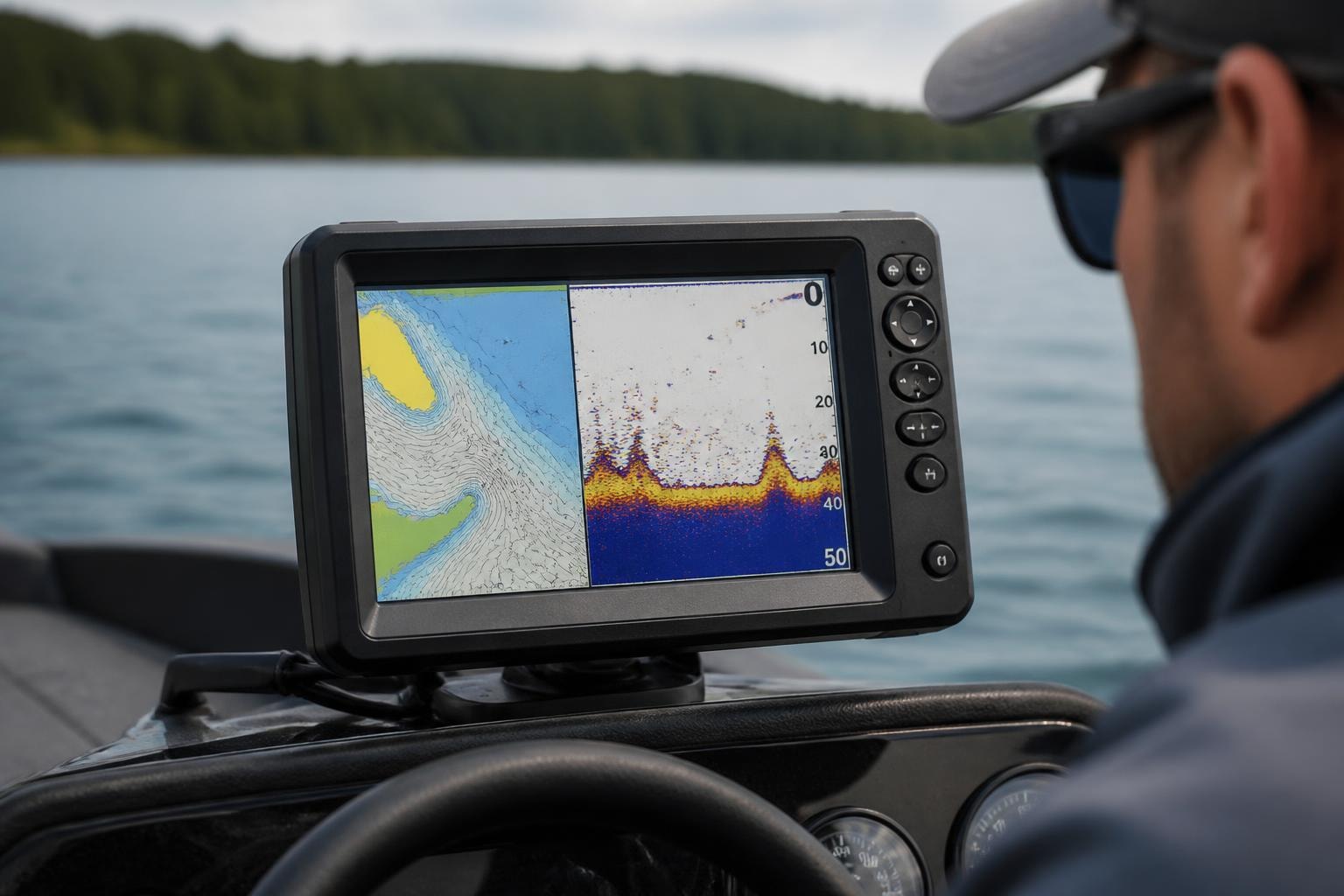
When you need to show coordinates with serious accuracy, GPS devices are the gold standard. High-end models offer sub-meter precision, ideal for surveyors and field researchers. For everyday use, smartphones and tablets with built-in GPS do the trick—especially when paired with mapping apps focused on showing coordinates.
Popular options include:
- Dedicated handheld GPS units for rugged use
- Smartphone apps with advanced GPS features
- Bluetooth GPS receivers for tablets and laptops
No matter your device, the ability to reliably show coordinates is now right in your pocket.
Innovations in Coordinate Accuracy
The technology to show coordinates is getting smarter every year. AI-powered error correction is reducing mistakes automatically. New satellite constellations like Galileo and GNSS networks deliver near real-time updates. For a deep dive into what’s ahead, check out Emerging Trends in GNSS Technology, which covers breakthroughs like multi-constellation receivers and predictive mapping.
With these innovations, it’s easier than ever to show coordinates with confidence, even in tough spots like dense cities or remote backcountry.
Data Security and Privacy Considerations
As you show coordinates and share location info, privacy matters more than ever. Always use platforms that encrypt your data and follow privacy laws like GDPR and CCPA. When possible, limit who can view or access your shared coordinates.
Best practices:
- Use secure sharing options in apps
- Educate users on privacy settings
- Regularly update software for security patches
Keeping your location data safe ensures you can show coordinates without worry.
Troubleshooting Common Coordinate Display Issues
Getting the right coordinates on your map can feel like threading a needle. Even small mistakes can throw everything off. If you want to show coordinates accurately every time, understanding common problems and how to fix them is key. Let’s break down the main troubleshooting steps so you can keep your maps sharp and reliable.
Identifying and Resolving Format Errors
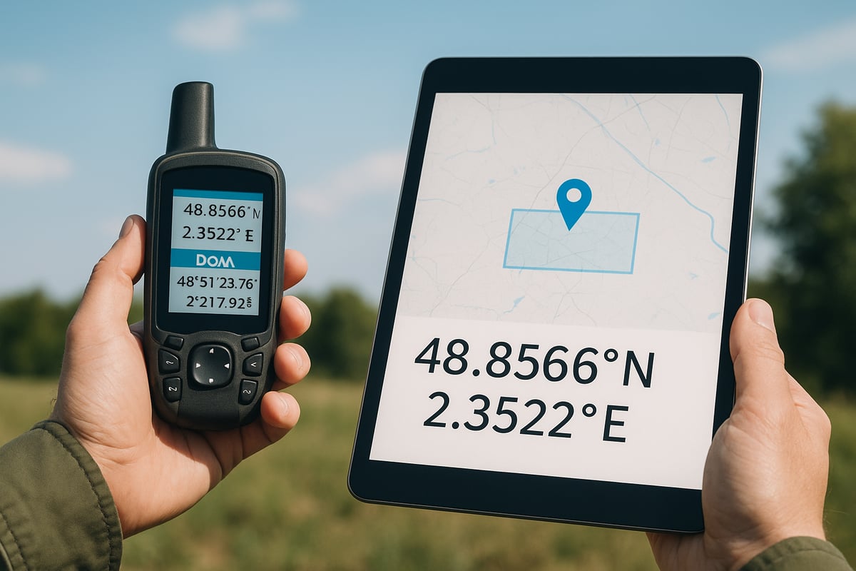
Format errors are one of the most common headaches when you try to show coordinates. A misplaced decimal or swapped latitude and longitude can send you miles from your target. Always double-check whether your data uses decimal degrees or degrees-minutes-seconds.
Some tools can flag these mistakes automatically, but it helps to know what to look for:
- Watch for coordinates outside the usual range (latitude beyond 90, longitude beyond 180).
- Confirm the order: latitude comes first, then longitude.
- Use conversion tools to quickly switch formats.
A real-world example? Check out how Islamorada mapped fishing locations display precise points, making it easy to spot any format issues before you head out.
Dealing with Mapping Software Incompatibilities
Not all mapping platforms speak the same language. When you show coordinates from one tool in another, you might see projection mismatches or data import errors. These problems can scramble your locations or make them vanish.
To avoid this:
- Make sure both platforms use the same coordinate system, like WGS84.
- Export data in compatible formats (CSV, GPX, KML).
- Check for software updates, which often fix compatibility bugs.
If you run into trouble, review your coordinate system settings and try re-importing the data. Taking these steps ensures your show coordinates project stays on track.
Ensuring Real-Time Accuracy
Real-time mapping is only as good as your signal. Weak GPS, signal loss, or device lag can all cause your show coordinates feature to drift or freeze. Urban canyons, thick forests, or even bad weather can make matters worse.
To keep accuracy high:
- Use devices with strong GPS and multi-network support.
- Try correction services like WAAS or RTK, which can boost precision to just a few centimeters.
- For field pros, Modernizing Field Surveying with GNSS-RTK Technology explains how these solutions transform accuracy in tough conditions.
Stay patient and let your device settle before logging coordinates, especially if you notice jumps on your map.
User Training and Best Practices
Even the best tools need skilled hands. Training your team on how to show coordinates correctly can slash mapping errors by more than half. Start with easy-to-follow tutorials and encourage regular practice.
Best practices include:
- Reviewing coordinate basics regularly.
- Using checklists before sharing data.
- Practicing with sample maps to spot errors fast.
With proper training, your crew will catch mistakes before they cause bigger problems. A small investment in learning pays off with smooth, accurate mapping every time.
Future Trends: Coordinate Mapping in 2026 and Beyond
The way we show coordinates is changing fast, and 2026 is shaping up to be a pivotal year for mapping. New tech, smarter devices, and community-driven initiatives are all pushing mapping to new heights. Let’s look at what’s on the horizon and how these trends will impact anyone who needs to show coordinates with precision.
Advancements in Mapping Technology
AI and machine learning are set to redefine how we show coordinates in real time. Automated error correction, predictive mapping, and smarter algorithms will help minimize mistakes and improve accuracy. Cities are already starting to use live environmental data to update maps instantly, making navigation safer and more reliable.
Emerging technologies like zero-drift point cloud mapping, such as OpenLiDARMap: Zero-Drift Point Cloud Mapping, are also making it possible to generate georeferenced maps even when GNSS signals are weak. These breakthroughs mean that soon, everyone will be able to show coordinates with greater confidence, even in tricky locations.
Expansion of Location-Based Services
Location-based services are booming, and their growth is tied directly to how well we show coordinates. From AR games that blend virtual and real worlds to advanced navigation for delivery and emergency response, precision is everything.
Industries like logistics, tourism, and public safety rely more than ever on pinpoint accuracy. As AR and VR apps become more common, the demand for real-time, dependable coordinate data will only increase. The future will see even more creative ways to show coordinates, especially as these services become part of everyday life.
The Role of Open Data and Community Mapping
Open data is empowering everyday users to show coordinates and contribute to public mapping projects. Platforms like OpenStreetMap and specialized local initiatives are helping communities map out everything from hiking trails to fishing spots.
For example, the Florida mapping locations overview showcases how shared data can benefit anglers and outdoor enthusiasts alike. Crowdsourcing is fueling more accurate maps, especially in areas where commercial mapping falls short. This movement is making it easier for anyone to show coordinates and support local knowledge.
Preparing for the Next Generation of Mapping Challenges
With so much data flowing in, there are new challenges to tackle. Data overload, privacy concerns, and the need for updated standards are all on the horizon. Businesses and developers will need to adapt quickly to keep up with the pace of change and to safely show coordinates in their apps and services.
Opportunities abound for those who can innovate and address these issues head-on. Ongoing training, robust privacy measures, and a commitment to open collaboration will be key for anyone who wants to lead the way in coordinate mapping beyond 2026.
Now that you’ve got the lowdown on showing coordinates and why accuracy matters for mapping in 2026, why not put that knowledge to good use? Whether you’re planning your next fishing trip or just curious about what’s nearby, having the right coordinates makes all the difference. If you want to explore real spots with detailed GPS info, access details, and more, I’ve got just the place for you. Check out Find Spots to discover fishing locations near you and see those mapping tips in action. Your next great catch might be just a click away!