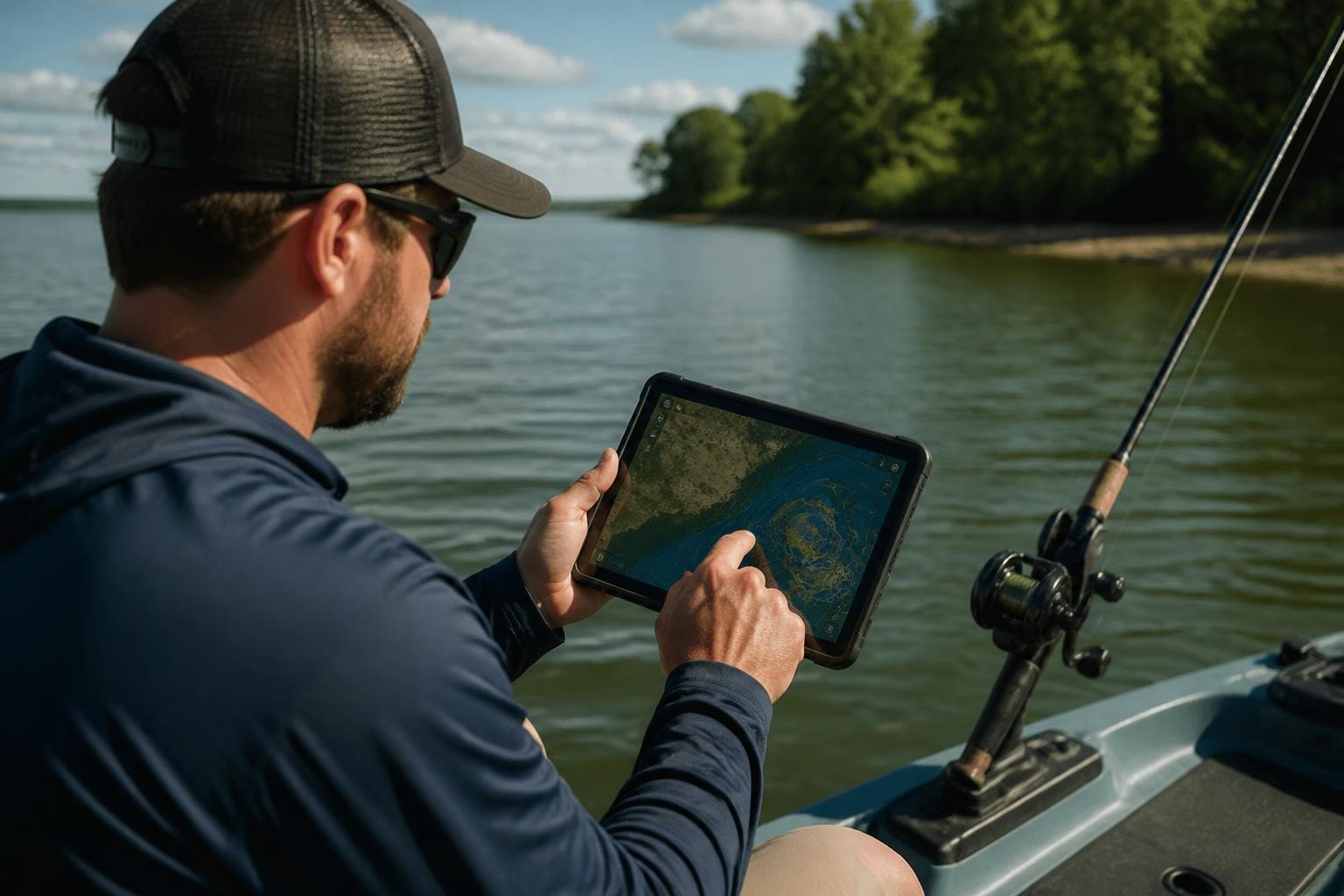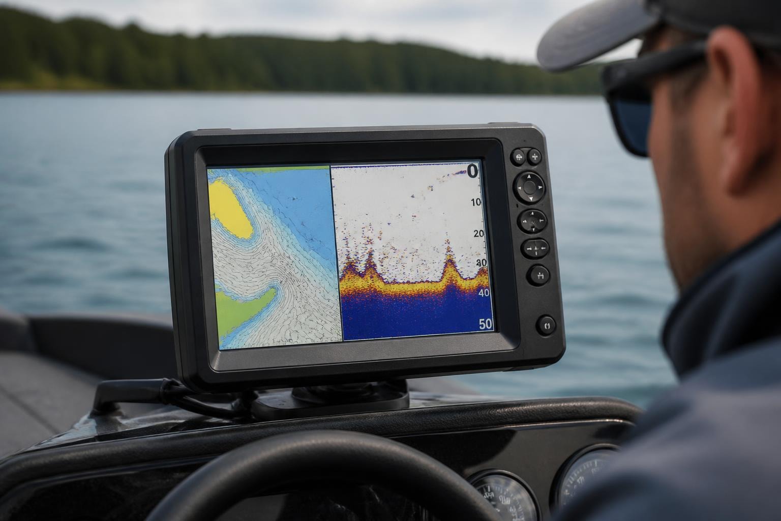
If you’re looking to hook into hard-fighting Blackfin Tuna just offshore of Haulover Inlet, you’re in luck. The deep waters off Miami-Dade County are home to several productive wrecks and reef structures that consistently hold bait and draw in pelagic predators. These offshore fishing spots are known for action-packed days and trophy catches—especially when using vertical jigging, drifting live bait, or trolling over structure.
Here are five top-rated offshore spots to target Blackfin Tuna near Haulover:
Catharina Tugboat
GPS Coordinates: N 25° 54.943′ W 80° 04.524′
This 71-foot sunken tugboat rests in 284 feet of water and offers 14 feet of relief—perfect for vertical jigging and deep drifting. The structure consistently holds bait and draws in Blackfin Tuna and Amberjack. Its remote location keeps fishing pressure low and the bite hot.
Shark Cargo Tug Wreck
GPS Coordinates: N 25° 54.476′ W 80° 04.587′
At 255 feet deep with 21 feet of relief, this 82-foot cargo vessel is a favorite among serious anglers. Whether you’re drifting live baits or dropping jigs, this wreck regularly produces Blackfin during seasonal runs.
Rossmerry Steel Freighter
GPS Coordinates: N 25° 54.253′ W 80° 04.623′
This 195-foot freighter broken into sections sits at 240 feet with 20 feet of relief. The scattered structure is ideal for working multiple drifts and jig passes. Blackfin Tuna and other pelagics are known to school up around this deepwater wreck.
OL Bodenhamer Steel Liberty Ship
GPS Coordinates: N 25° 53.874′ W 80° 04.308′
One of the largest artificial reefs in the region, this 450-foot Liberty Ship lies in 365 feet of water with 32 feet of relief. Trolling and vertical jigging near this wreck can produce monster tuna and deepwater predators like Grouper and Swordfish.
Raychel Steel Freighter Wreck
GPS Coordinates: N 25° 49.212′ W 80° 04.763′
Resting in 185 feet of water, the Raychel is split into three sections and provides multiple zones to fish. Amberjack and Blackfin love the structure here, making it perfect for slow trolling or dropping jigs along the edges.
Plan Your Trip and Get the Coordinates
Each of these offshore hotspots includes detailed info and GPS coordinates to help you navigate straight to the action. Click on any of the links above to view the full fishing spot page with depth, relief, common species, and directions.