
How to Find Good Fishing Spots Near You
How to find productive fishing spots close to home: what makes water hold fish, scouting with maps and apps, local knowledge, access and rules.
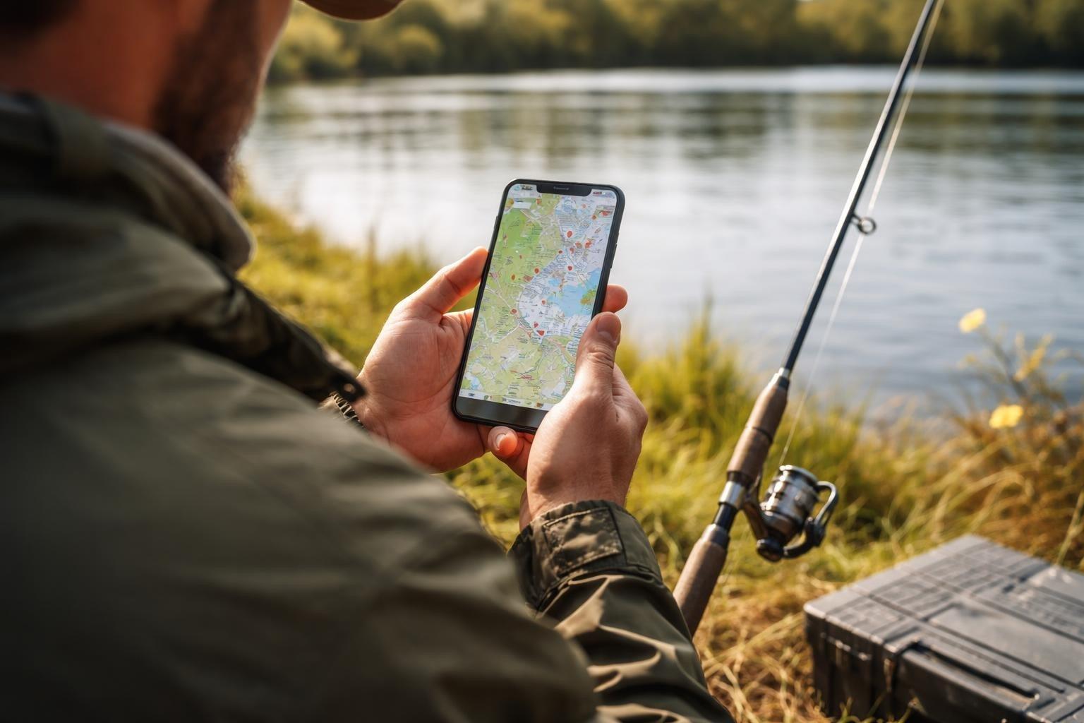
Finding productive water close to home isn't about luck. It comes from knowing what makes a spot hold fish, using maps and apps to scout, tapping local knowledge, checking the rules and access details, and keeping records of what works. This guide brings those steps together, whether you fish farm ponds, rivers or coastal flats.
Why Fish Close to Home
Nearby spots, ideally within about 30 minutes, let you fish more often, fit in quick morning or evening sessions, and keep fuel costs down. More importantly, returning to the same water again and again lets you learn it intimately: its seasonal patterns, structure and where fish hold in different conditions. Don't overlook small, less-publicized waters. A farm pond, neighborhood creek or community lake can hold surprising fish with less pressure than famous destinations, and less-known spots mean fewer crowds.
What Makes a Spot Productive
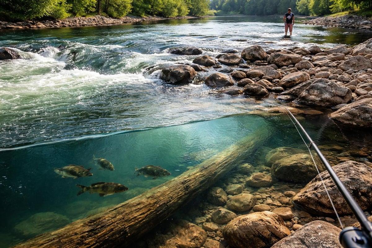
Not all water holds fish equally. Productive spots offer cover from predators, ambush points for feeding, and relief from current.
- Structure: submerged logs, rocky points, weed edges and channel drops.
- Temperature: fish position where water temperatures suit them, which changes by species and season. In summer look for deeper holes or spring-fed areas; in cooler months, shallow flats that warm in the afternoon sun.
- Current seams where fast water meets slow create feeding lanes.
- Color changes often mark depth transitions or structure.
- Surface ripples can reveal underwater points or reefs.
- Birds point to baitfish schools and feeding predators.
Tidal water adds another layer. Rising tides push baitfish onto flats and into marsh creeks; falling tides concentrate fish in deeper channels and pockets. The hour before and after a tide change often produces the best action. Take Me Fishing has more on finding fishing spots (opens in a new tab).
Reading Different Water Types
- Lakes and reservoirs: fish concentrate around points, humps and creek channels. Study lake maps for depth changes, and focus on 10- to 15-foot depths in spring and fall, deeper in summer and shallower in late fall.
- Rivers and streams: look for bends, eddies behind rocks, undercut banks, and transitions between pools and riffles. Current always influences where fish hold.
- Saltwater flats and bays: read the tides and bottom composition. Grass flats, oyster bars and mangrove shorelines each hold different species. Areas like Biscayne Bay and Cape Lookout offer diverse habitat.
- Brackish water: estuaries, tidal creeks and coastal marshes, where fresh and salt water mix, hold species that thrive in variable salinity. They often see less pressure than pure saltwater spots, though tides can make launches and wading trickier.
Saltwater access points include public fishing piers (often lighted for night fishing), beach and surf zones, jetties and breakwaters, causeway bridges with walkways, and marinas. For freshwater, public boat ramps offer the most flexibility, but bank fishing can be just as productive; state parks, wildlife management areas and Army Corps of Engineers properties often have well-maintained access. Every region differs. Florida anglers might fish inshore at Gandy Bridge on Old Tampa Bay, North Carolina anglers target seasonal runs at Oregon Inlet on the Outer Banks, and Massachusetts anglers head offshore to Stellwagen Bank. The Southeast offers year-round fishing, northern states shift to ice fishing in winter, desert fishing centers on reservoirs and tailwaters below dams, and the Pacific Northwest focuses on salmon and steelhead runs.
Scouting With Maps and Apps
Fishing charts and depth maps reveal bottom contours, drop-offs and structure. Study them at home, mark waypoints on interesting features, then check them on the water. Satellite views on Google Maps show weed beds, channels and access points you'd miss from the road. Online directories list spots with GPS coordinates, species and access details, which saves driving around looking for a ramp or shoreline access.
Community apps such as Fishbrain (opens in a new tab) show where others are catching fish and what's active. Don't fish someone else's exact coordinates without permission, but use these tools to identify areas worth exploring. Cross-reference apps with state fisheries websites, which often list stocked waters and management areas, and with local fishing reports and satellite imagery. When several sources point to the same area, it's likely worth checking.
Tapping Local Knowledge
No technology replaces people who fish an area regularly. Bait shops, marinas and tackle counters know what's producing now, not last season. Be specific but respectful: don't expect exact coordinates to someone's honey hole, but ask about general areas, what's biting and what baits are working. Local clubs, online groups and social media groups share reports, photos and tips. When several people mention the same area or technique, that's actionable information. Contributing your own experiences builds goodwill, and local contacts can become fishing partners for safer trips.
Checking Access, Rules and Facilities
Before you go, check:
- Access type: public boat ramp, shore fishing, pier or kayak launch, and whether the water is public or private
- Parking and any day-use fees or permits, which many spots near urban areas require
- Facilities: restrooms, cleaning stations, bait shops, shade and accessibility features
- Seasonal access restrictions, and whether access points have changed
- Target species and the best times of year for them
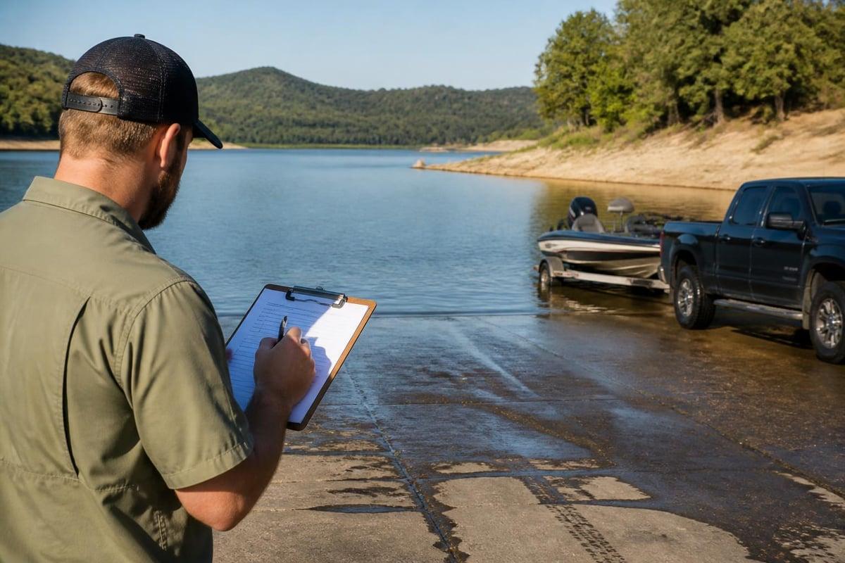
The United States doesn't have a national fishing license, so each state sets its own rules (opens in a new tab), including licenses, seasons, size limits and bag limits. Some states require separate saltwater and freshwater endorsements or special stamps and tags, and age requirements vary. Some individual lakes and rivers have rules beyond statewide regulations. If you fish across state lines, check each state. Don't assume any spot, even a public saltwater pier, is license-free. Always carry your license, and know what you can legally keep. License fees fund hatcheries, habitat restoration and fishery management.
Before Each Trip
- Check recent fishing reports, the weather and, for tidal water, tide charts and water clarity
- Carry your license and any required stamps
- Bring tackle matched to the target species, plus bait or proven lures
- Pack a life jacket, sun protection, water and snacks, a first aid kit, bug spray, and maps or a GPS
- Bring pliers, a hook remover and a measuring device, and a cooler if you plan to keep fish
- Arrive early, and have backup spots in case your first choice is crowded
Give each new spot a fair try: fish it at prime times in good conditions, and spend at least an hour working it with different presentations before writing it off. Fish may be present but not feeding, or want a different bait.
Scouting in the Off-Season
Winter and low-water periods expose structure that's normally underwater. Walk shorelines, photograph and mark waypoints on stumps, rock piles and drop-offs, and plan your approach for when water rises and fish move back in.
Build Your Own Spot Library
The best anglers keep their own records, and over time they become more valuable than any public resource. For each spot, save the GPS coordinates and parking location, take photos of access points, and note:
- Date, time of day, weather, water level, clarity and temperature
- Tide stage and moon phase
- Bait, lure and presentation, and what you caught
- Seasonal patterns from year to year
Patterns emerge: a place that held fish on a falling tide in May will likely do the same next year. Keep testing new areas while returning to proven producers, and spread your fishing across spots to reduce pressure on your favorites.
Fish Responsibly
Pack out all trash, including fishing line and hooks, and follow Leave No Trace principles. Use barbless hooks and practice catch-and-release where you can, especially for native or rare fish, and respect posted limits and protected species. Keep noise down, respect wildlife, and give other anglers plenty of space. Local clean-ups and conservation events are a good way to give back.
Related Fishing Spots
About the Author
Matthew Howe
Matthew Howe is the founder of Find Fishing Spots and a lifelong fishing and boating enthusiast. He created FindFishingSpots.com to help anglers discover fishing locations, tournaments, and useful resources for getting on the water.