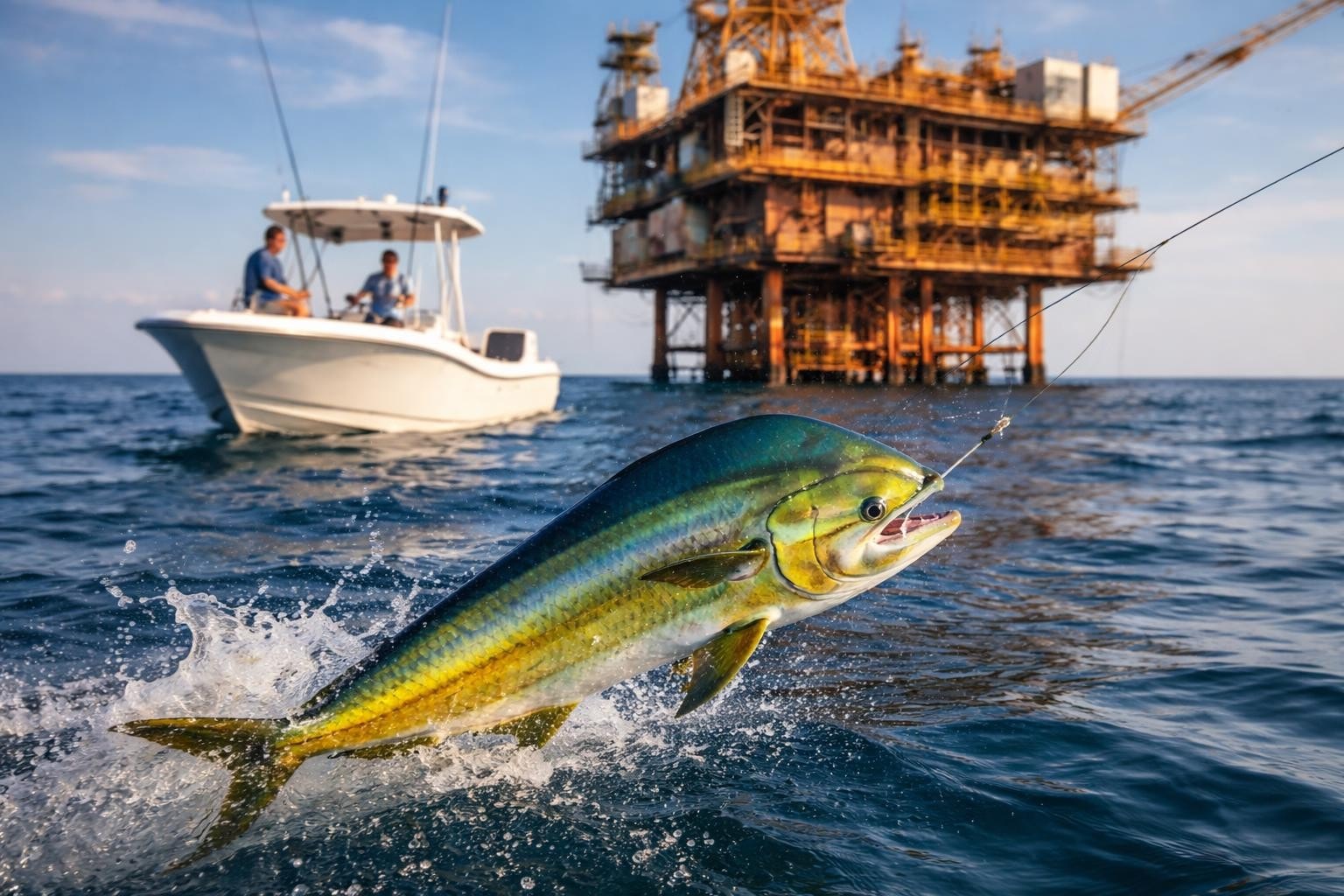
Ever stumbled across a set of coordinates online and wondered exactly what spot they mark? Maybe a fellow angler shared some numbers that supposedly point to a killer bass hole, or you're looking at a pin on a map with nothing but latitude and longitude. Learning to find place by coordinates is a handy skill for any outdoor enthusiast, especially when you're hunting down new fishing locations. GPS coordinates might look like a bunch of numbers, but they're actually precise pointers to exact spots on Earth. Understanding how to translate those numbers into real-world locations opens up a whole new way of discovering places.
What Are Coordinates and Why They Matter
GPS coordinates come in different formats, but they all do the same job: they pinpoint exact locations on our planet. You'll typically see them as latitude and longitude pairs, like 27.7676° N, 82.6403° W. Latitude measures north-south position, while longitude measures east-west.
For anglers, coordinates are incredibly valuable. They let you:
- Mark productive spots without relying on vague descriptions
- Share locations with fishing buddies precisely
- Return to hotspots even when landmarks change
- Discover new waters from online reports and forums
When someone posts about catching a trophy redfish at specific coordinates, you can find place by coordinates and check out that exact mangrove edge or channel entrance yourself.
Methods to Find Place by Coordinates
Google Maps Quick Search
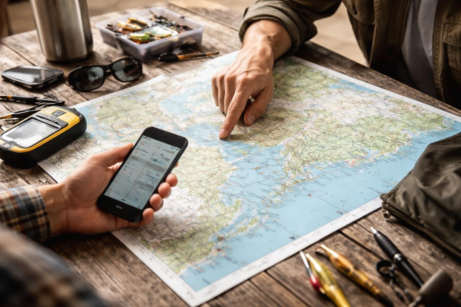
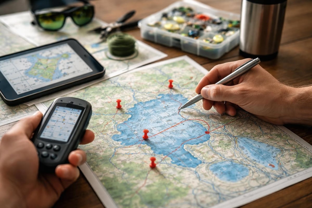
The simplest way to find place by coordinates is dropping them straight into Google Maps. Just copy the coordinates and paste them into the search bar. The map will zoom right to that spot, showing you the surrounding area, nearby roads, and water features.
This works great when you're planning a fishing trip and want to scope out access points. You can switch to satellite view to see whether that spot is a rocky shoreline, sandy beach, or thick mangrove forest. Street view (when available) gives you a ground-level preview of parking areas and launch ramps.
Reverse Geocoding Services
Reverse geocoding converts coordinates into human-readable addresses. Several services offer this capability, and they're especially useful when you need more detailed location information than just a pin on a map.
Professional geocoding platforms like Esri’s reverse geocoding service provide comprehensive location data including street addresses, city names, and administrative boundaries. For serious fishing research, these tools help you understand exactly where a spot sits in relation to regulations, access points, and local amenities.
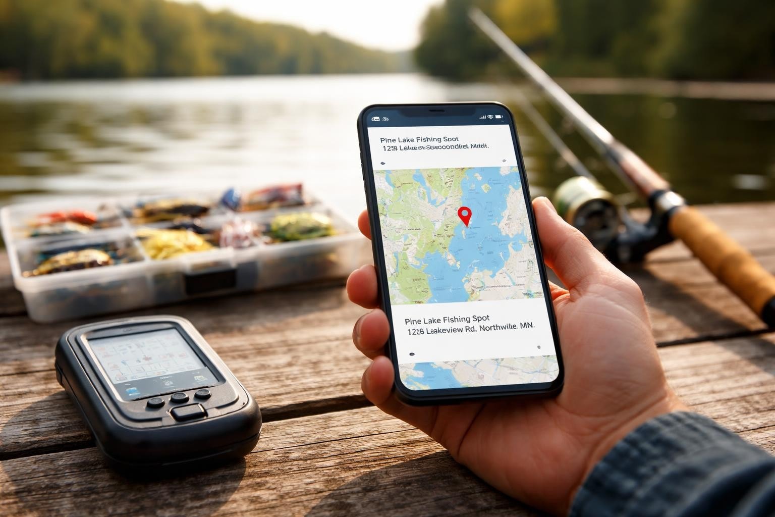
Mobile Apps and GPS Devices
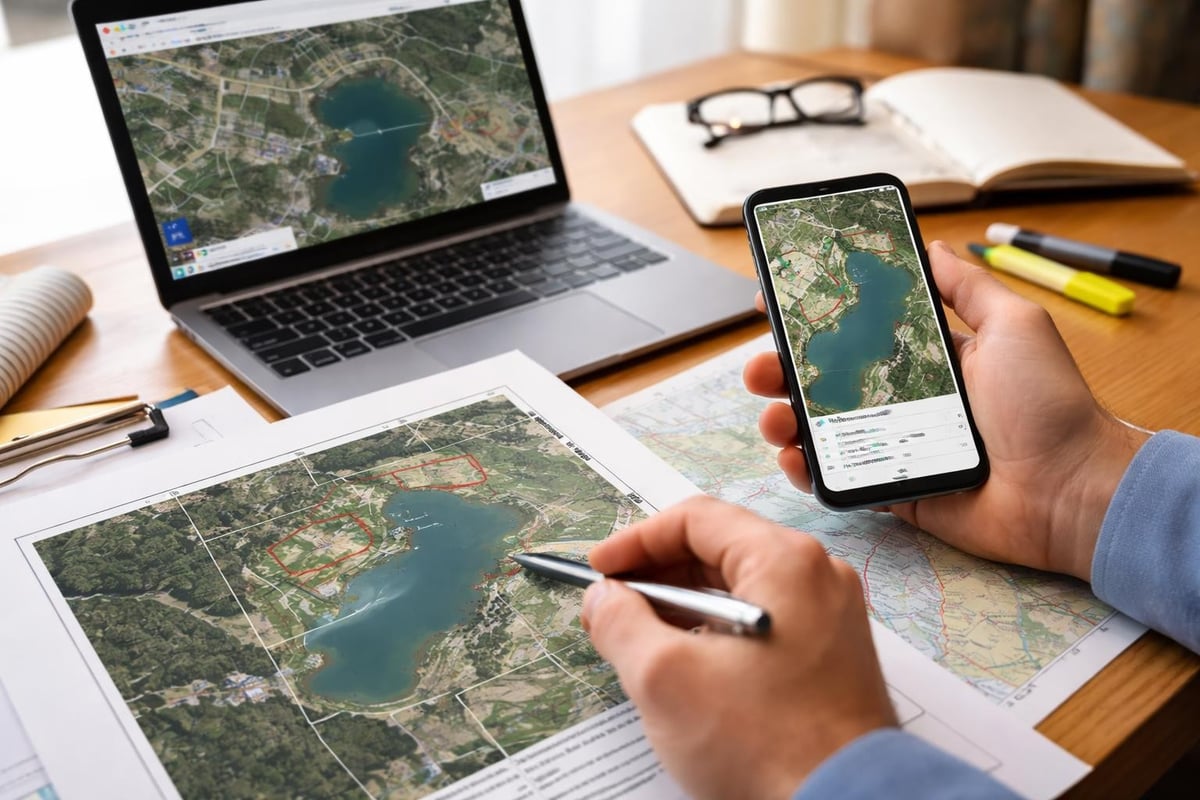
Most smartphones come with built-in capabilities to find place by coordinates. Your phone's mapping app can accept coordinate input, and dedicated fishing apps often include coordinate search functions. Handheld GPS units made for outdoor use handle coordinates natively.
The beauty of mobile tools is you can use them on the water. Plug in coordinates while you're heading out, and your device guides you straight there. Many anglers keep a running list of productive coordinates in their notes app for easy reference.
Practical Applications for Anglers
Discovering Reported Hotspots
Online fishing forums, social media groups, and fishing reports often mention specific coordinates. When someone drops coordinates for a great trout stream or productive reef, you can explore those spots from home before making the drive.
Start by checking out locations across fishing spots nationwide to see how different waters are documented. This gives you context for understanding coordinate-based location sharing in your region.
Planning Access Routes
Once you find place by coordinates, the next step is figuring out how to get there. Coordinates might point to a killer spot, but if it's landlocked or requires a long paddle, you need to know that ahead of time.
Use satellite imagery to trace access routes. Look for:
- Boat ramps within reasonable distance
- Public access points to shorelines
- Parking areas near the coordinates
- Walking or paddling paths to the spot
Check out specific locations like Weedon Island Preserve to see how access information complements coordinate data.
Verifying Location Details
Sometimes coordinates get shared with mistakes or refer to spots that don't match their descriptions. Being able to find place by coordinates lets you verify information before investing time and gas money.
Cross-reference coordinates with local knowledge and other sources. If someone claims coordinates point to a freshwater lake but your reverse geocode shows saltwater, something's off. Tools like Geoapify’s reverse geocoding API can provide detailed location attributes to confirm what type of water body you're actually looking at.
Understanding Coordinate Formats
Coordinates come in several formats, and knowing the differences helps when you're trying to find place by coordinates from various sources.
Decimal Degrees (DD): 28.5383, -81.3792
This is the most common format you'll see online. Clean, simple, works in most mapping tools.
Degrees Minutes Seconds (DMS): 28°32'17.9"N 81°22'45.1"W
Traditional navigation format, still used by many marine charts and older GPS units.
Degrees Decimal Minutes (DDM): 28°32.298'N 81°22.752'W
A hybrid format popular with boaters and marine navigation.
Most online tools accept any format, but if one doesn't work, try converting to decimal degrees. Many free online converters handle this instantly.
Common Challenges and Solutions
Accuracy Matters
Different sources round coordinates differently. A coordinate pair accurate to four decimal places puts you within about 36 feet. Six decimal places narrows it down to a few inches. For fishing, four to five decimal places usually works fine for finding a general area like a reef or creek mouth.
When sharing your own spots, consider how precise you want to be. Share general areas with four decimals, but keep your exact honey holes at six decimals in your private notes.
Datum Differences
GPS systems use different datums (reference frameworks). WGS84 is the standard for most consumer GPS and online mapping. If coordinates seem off by hundreds of feet, datum mismatch might be the culprit. Most modern systems default to WGS84, but older charts sometimes use NAD27 or regional datums.
Private Property Boundaries
Just because you can find place by coordinates doesn't mean you can access it. Always verify that coordinates point to public waters or areas where you have permission. Finding fishing spots in Florida or other regions through legitimate directories ensures you're looking at accessible locations.
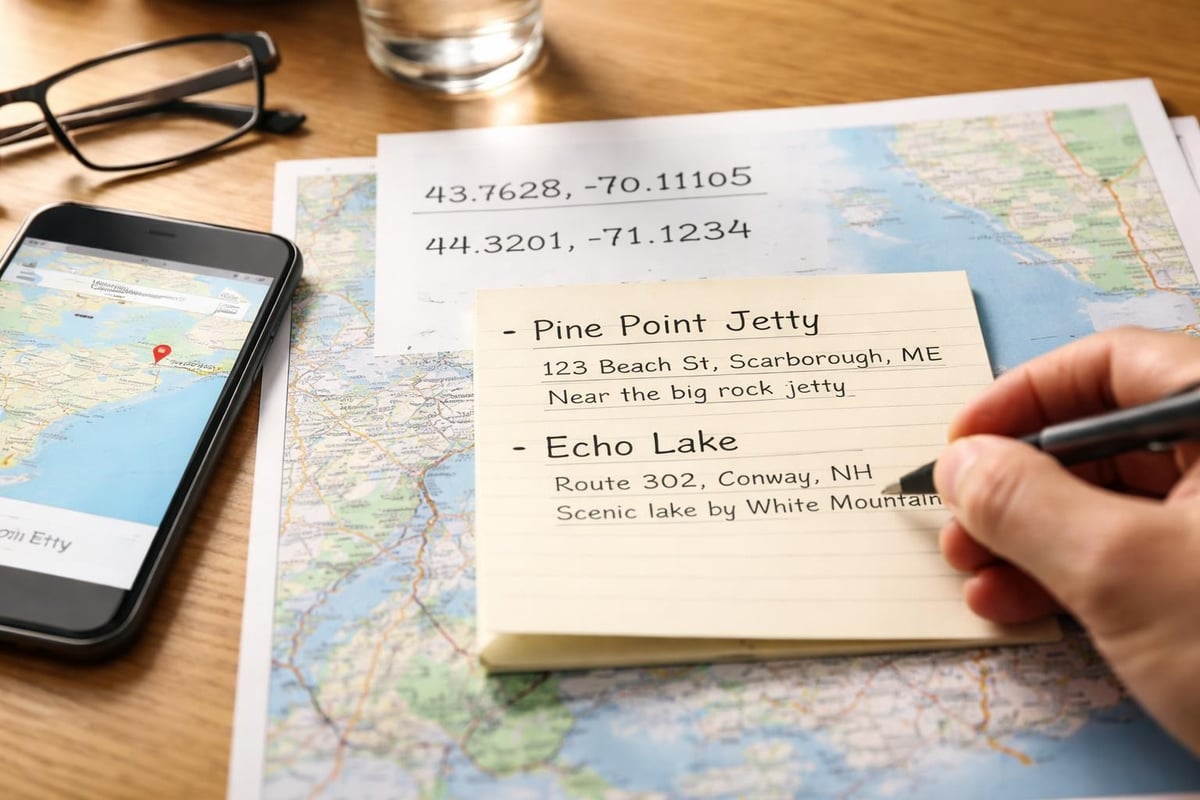
Making the Most of Location Data
When you successfully find place by coordinates, save that information properly. Create a simple spreadsheet or use a fishing log app to record:
- The coordinates themselves
- What you found there (species, structure, conditions)
- Date and time fished
- Access notes (where you parked, launch used)
- Any special considerations (tides, seasonal patterns)
Build your own database of productive coordinates over time. It becomes your personal fishing atlas, way more valuable than any published guide because it's based on your actual experience.
Services like TomTom’s reverse geocoding can help you add context to your saved coordinates by providing street addresses and cross streets for easy future reference.
Learning to find place by coordinates transforms how you discover and return to fishing locations. Whether you're following up on a hot tip from a fishing buddy or exploring new waters from online reports, coordinates give you precision that vague descriptions never could. Ready to put this knowledge to work? Head over to Find Fishing Spots to explore thousands of documented fishing locations complete with coordinates, access details, and everything you need to plan your next trip.