
Coral Gables Waterway
Miami, Florida
- Water Type
- Saltwater
- Fishing Area
- Offshore
- Spot Type
- Channel
- Depth
- 5–10 ft
About This Spot
Coral Gables Waterway in Miami-Dade County provides scenic marine navigation channels marked by GPS waypoints. The calm waters are popular for boating, fishing, and wildlife observation. Anglers enjoy productive fishing opportunities while boaters benefit from reliable passage and serene surroundings ideal for leisurely marine activities.
GPS Coordinates
GPS (Degrees & Decimal Minutes)
N 25° 42.184' W 80° 14.731'
Decimal Coordinates
25.703067, -80.245517
Related Fishing Guides
Fishing Destinations
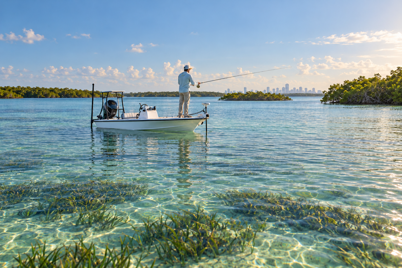
Biscayne Bay: Fishing the Flats, Keys and Reefs from Miami to the National Park
October 2, 2026
Tackle & Gear
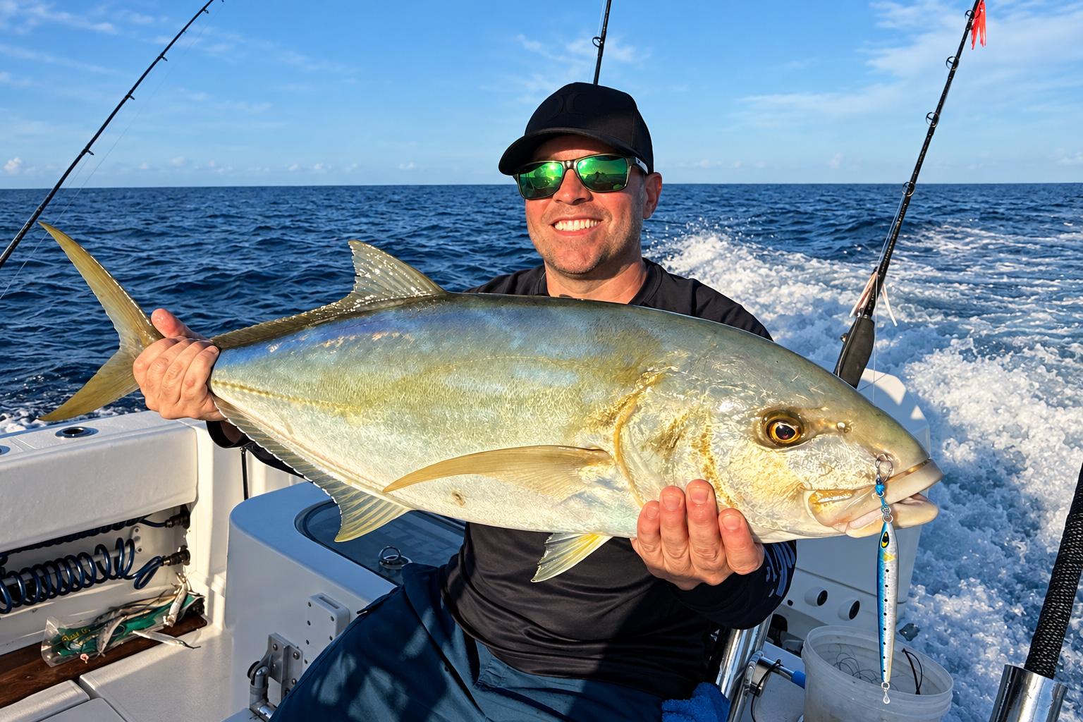
The Secret Slammer for Blackfin Tuna and Yellow Jack: The Mustad Moonriser Jig
September 29, 2026
Species Guides
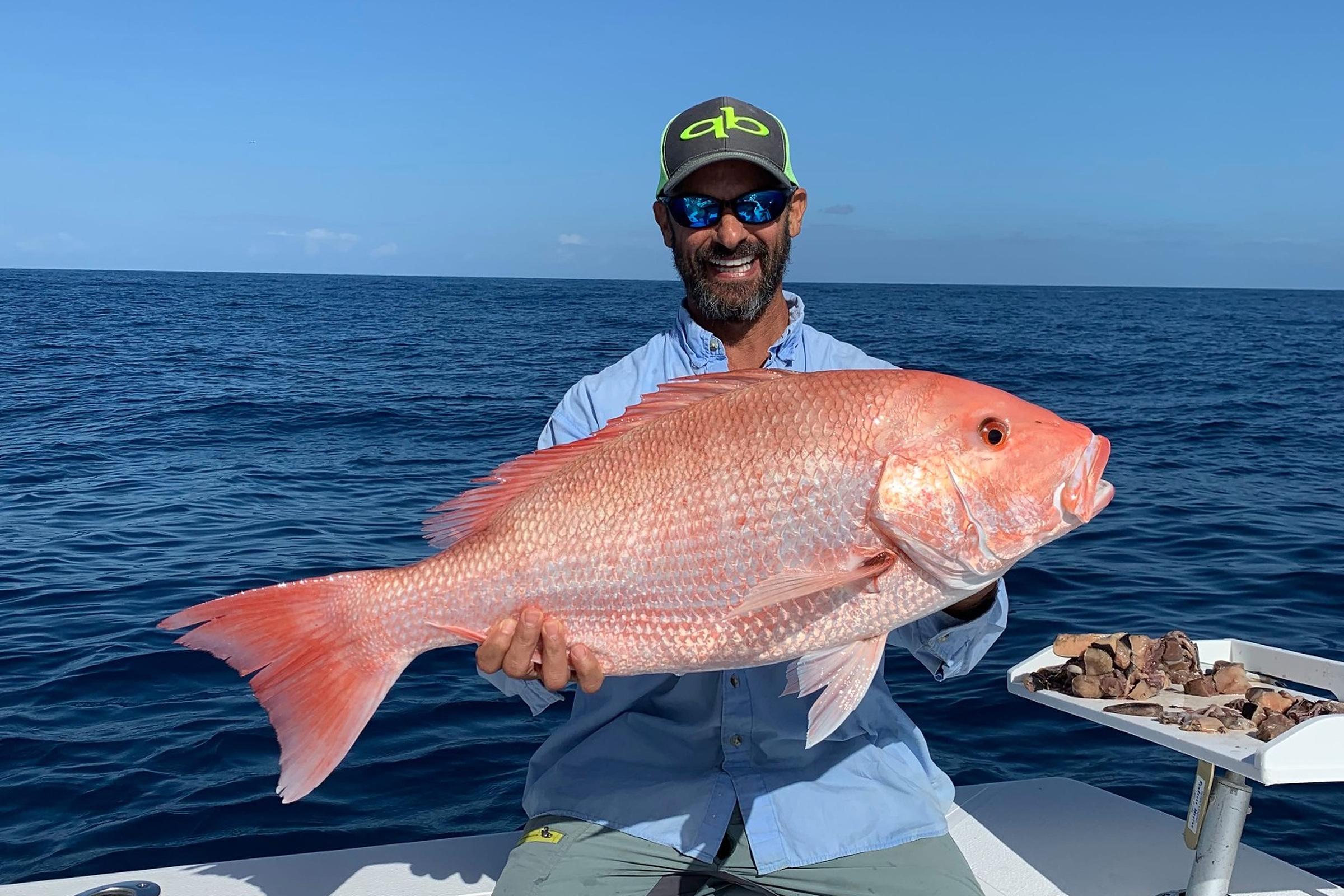
2026 Fall Atlantic Red Snapper Season in Florida: What Anglers Need to Know
October 6, 2026
Nearby Fishing Spots
Regatta Park - Seminole Boat Ramp
Miami · 1.8 miles away
Boat Ramp
Mercy Hospital Reef Concrete Rubble (Bay)
Key Biscayne · 3.2 miles away
OffshoreReef10 ft deep
Bay Harbor Boulder Reef
Key Biscayne · 3.3 miles away
OffshoreArtificial Reef13 ft deep
Mercy AR 2010-Culverts
Key Biscayne · 3.3 miles away
OffshoreArtificial Reef13 ft deep
Bicentennial Park Boulders
Key Biscayne · 3.3 miles away
OffshoreArtificial Reef13 ft deep
Mercy Connectivity Project Rock and Concrete B
Key Biscayne · 3.3 miles away
OffshoreArtificial Reef12 ft deep
Upcoming Fishing Tournaments
Get Florida Fishing Updates
Subscribe to hear about new fishing spots, fishing guides, tournaments and fishing updates in Florida.
More fishing spots in Miami, Florida.