
Dock and Marine 2014 B
Miami, Florida
- Water Type
- Saltwater
- Fishing Area
- Offshore
- Spot Type
- Artificial Reef
- Depth
- 26 ft
About This Spot
Dock and Marine 2014 B includes 99 tons of concrete slabs and pilings, sunk on November 21, 2014, approximately 5 nautical miles from Government Cut. At 26 feet deep with a 5-foot relief, this site supports a range of fish species and provides excellent visibility for casual diving and marine exploration.
GPS Coordinates
GPS (Degrees & Decimal Minutes)
N 25° 48.898' W 80° 10.131'
Decimal Coordinates
25.814967, -80.16885
Related Fishing Guides
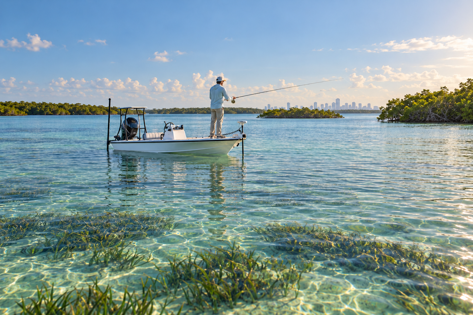
Fishing Destinations
Biscayne Bay: Fishing the Flats, Keys and Reefs from Miami to the National Park
October 2, 2026
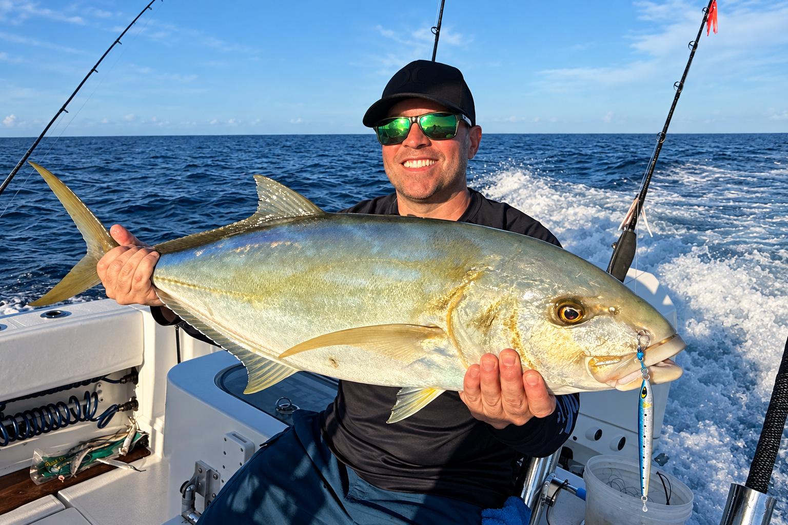
Tackle & Gear
The Secret Slammer for Blackfin Tuna and Yellow Jack: The Mustad Moonriser Jig
September 29, 2026
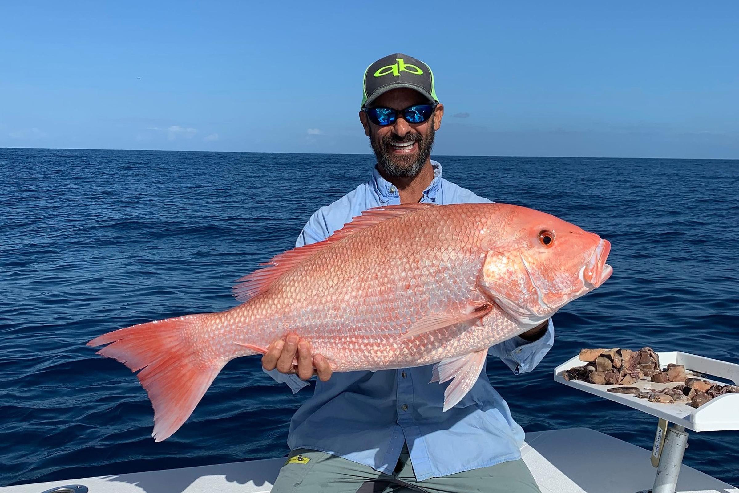
Species Guides
2026 Fall Atlantic Red Snapper Season in Florida: What Anglers Need to Know
October 6, 2026
Nearby Fishing Spots
Dock and Marine 2014 A
Miami · Under 0.1 miles away
OffshoreArtificial Reef26 ft deep
Dock and Marine 2015
Miami · Under 0.1 miles away
OffshoreArtificial Reef26 ft deep
School Steps
Miami · Under 0.1 miles away
OffshoreArtificial Reef24 ft deep
Rickenbacker Concrete Bridge Fishing Pier 2
Miami · Under 0.1 miles away
OffshoreArtificial Reef25 ft deep
Elliot Pier Slabs, Pilings, Barricades B
Miami · Under 0.1 miles away
OffshoreArtificial Reef26 ft deep
Elliot Pier Slabs, Pilings, Barricades A
Miami · Under 0.1 miles away
OffshoreArtificial Reef26 ft deep
Upcoming Fishing Tournaments
Get Florida Fishing Updates
Subscribe to hear about new fishing spots, fishing guides, tournaments and fishing updates in Florida.
More fishing spots in Miami, Florida.