
Gerry Curtis Park Public Boat Ramp
Miami, Florida
- Spot Type
- Boat Ramp
- Access
- Boat
About This Spot
Gerry Curtis Park Public Boat Ramp is a public boat ramp on the Miami River near Miami, Florida. A fee applies.
GPS Coordinates
GPS (Degrees & Decimal Minutes)
N 25° 47.428' W 80° 14.031'
Decimal Coordinates
25.790464999893207, -80.23385500029971
Related Fishing Guides
Fishing Destinations
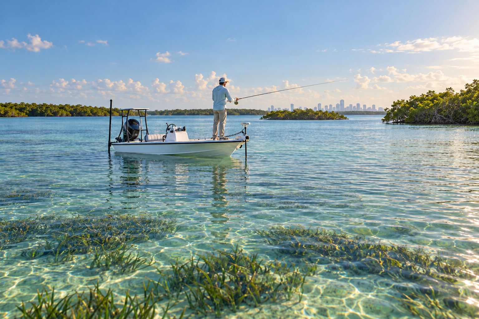
Biscayne Bay: Fishing the Flats, Keys and Reefs from Miami to the National Park
October 2, 2026
Tackle & Gear
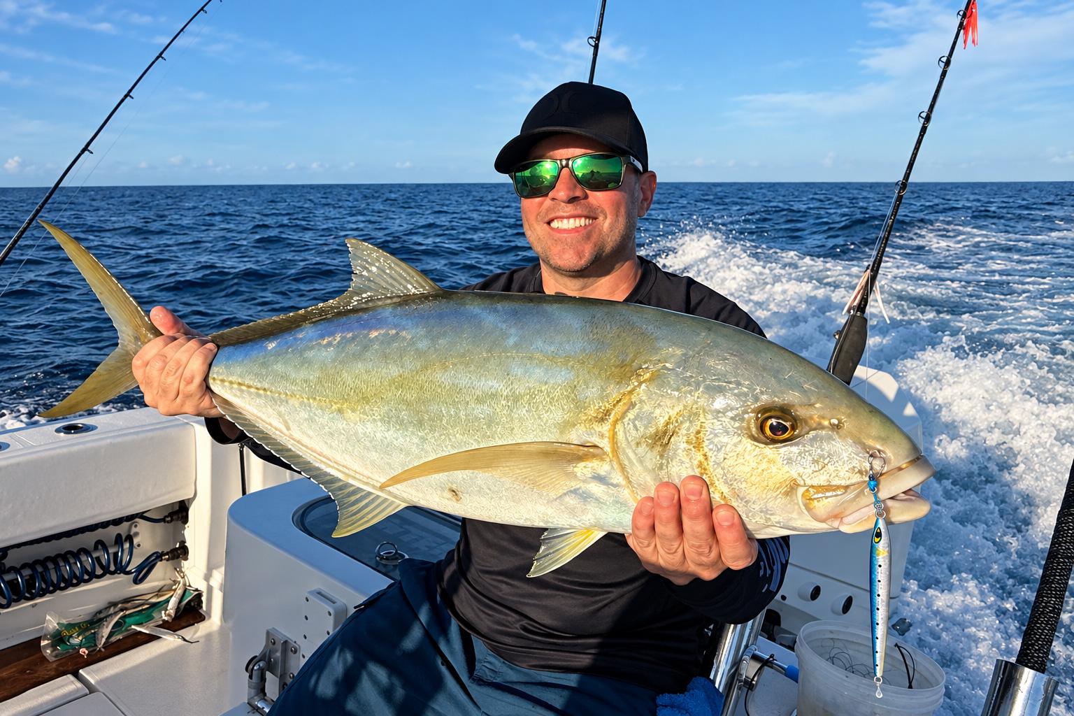
The Secret Slammer for Blackfin Tuna and Yellow Jack: The Mustad Moonriser Jig
September 29, 2026
Species Guides
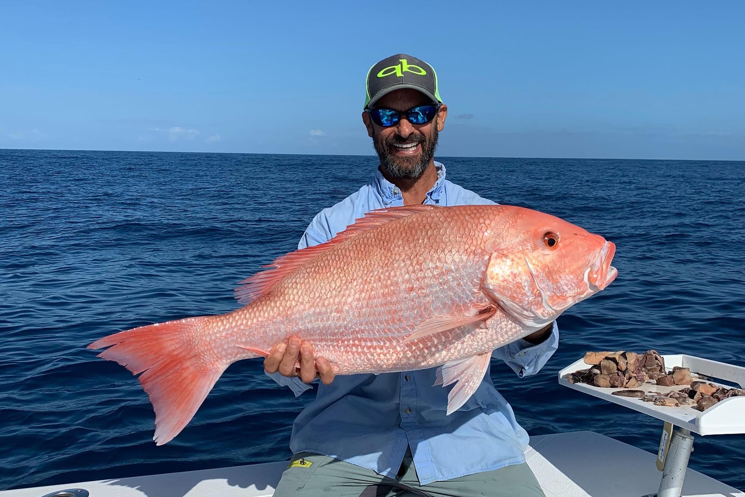
2026 Fall Atlantic Red Snapper Season in Florida: What Anglers Need to Know
October 6, 2026
Nearby Fishing Spots
Pace Picnic Islands in North Bay Miami
Miami · 3.6 miles away
OffshoreWreck
Rickenbacker Fishing Pier 1
Miami Beach · 3.7 miles away
OffshoreArtificial Reef14 ft deep
Brickell Area Reef
Miami Beach · 3.7 miles away
OffshoreReef12 ft deep
Watson Island Lot 70 Boat Ramp
Miami · 3.8 miles away
Boat Ramp
Mercy Connectivity Project A
Key Biscayne · 3.9 miles away
OffshoreArtificial Reef12 ft deep
Mercy Connectivity Project Rock and Concrete B
Key Biscayne · 3.9 miles away
OffshoreArtificial Reef12 ft deep
Upcoming Fishing Tournaments
Get Florida Fishing Updates
Subscribe to hear about new fishing spots, fishing guides, tournaments and fishing updates in Florida.
More fishing spots in Miami, Florida.