
Gimrock 697 Barge
Miami, Florida
- Water Type
- Saltwater
- Fishing Area
- Offshore
- Spot Type
- Artificial Reef
- Depth
- 170 ft
About This Spot
Gimrock 697 is a 195-foot steel scow barge carrying a water tower, sunk on June 30, 1997, at a depth of 170 feet with a 25-foot relief in Miami-Dade County. The unusual cargo makes this wreck a fascinating dive for advanced divers looking for unique underwater structures and diverse marine ecosystems.
GPS Coordinates
GPS (Degrees & Decimal Minutes)
N 25° 49.499' W 80° 04.855'
Decimal Coordinates
25.824983, -80.080917
Related Fishing Guides
Fishing Destinations
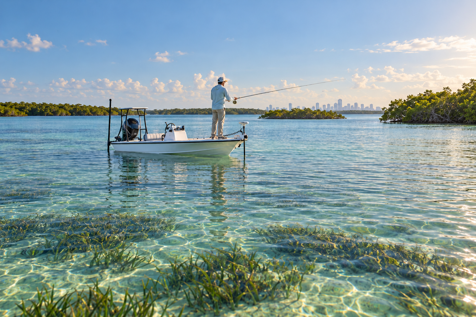
Biscayne Bay: Fishing the Flats, Keys and Reefs from Miami to the National Park
October 2, 2026
Tackle & Gear
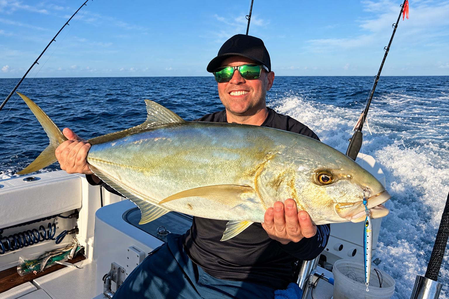
The Secret Slammer for Blackfin Tuna and Yellow Jack: The Mustad Moonriser Jig
September 29, 2026
Species Guides
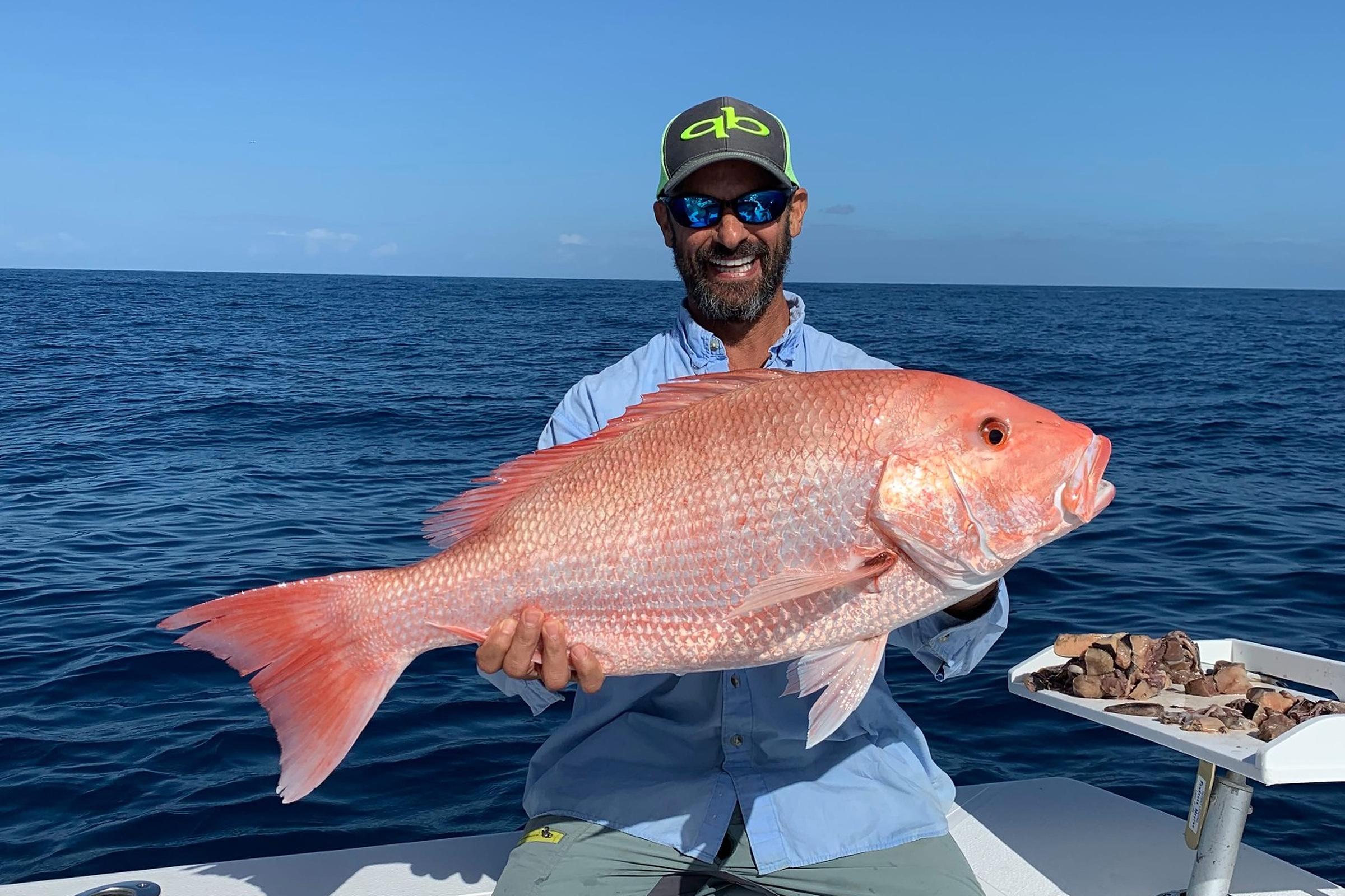
2026 Fall Atlantic Red Snapper Season in Florida: What Anglers Need to Know
October 6, 2026
Nearby Fishing Spots
South Point Water Tower Reef
Miami · Under 0.1 miles away
OffshoreArtificial Reef170 ft deep
Walke Q Steel Freighter
Miami · Under 0.1 miles away
OffshoreArtificial Reef282 ft deep
Deep Freeze Vessel - Marie Horn
Miami · 0.2 miles away
OffshoreArtificial Reef135 ft deep
Gimrock 402 Barge
Miami · 0.3 miles away
OffshoreArtificial Reef111 ft deep
Betek Ar Pen Steel Ship
Miami · 0.3 miles away
OffshoreArtificial Reef110 ft deep
St Henry Express Steel Freighter
Miami · 0.3 miles away
OffshoreArtificial Reef113 ft deep
Upcoming Fishing Tournaments
Get Florida Fishing Updates
Subscribe to hear about new fishing spots, fishing guides, tournaments and fishing updates in Florida.
More fishing spots in Miami, Florida.